The Thünen Atlas
“With the Thünen Atlas, geodata sets are not only findable, but also easy to reuse. As part of the geodata infrastructure, the platform makes it possible to provide OGC-compliant data services. These can be easily loaded via GIS applications and program libraries in R and Python and merged with other data. Through further developments as part of the NFDI4Biodiversity project, the interfaces required for this have been expanded and their documentation improved.”
Florian Hoedt (Head of Research Data Management at the Center for Information Management of the Thünen Institute)
About the Thünen Institute
The Johann Heinrich von Thünen Institute is an independent research institute at the interface between science, politics and society. It is dedicated to the sustainable use of natural resources and the development of rural areas. With an interdisciplinary profile and 15 specialized institutes, the Institute researches central questions on topics such as climate change adaptation, nature conservation and rural development, develops options for action and publishes the results for different target groups.
It carries out comprehensive monitoring projects, cooperates with research institutions worldwide and is committed to promoting junior researchers.
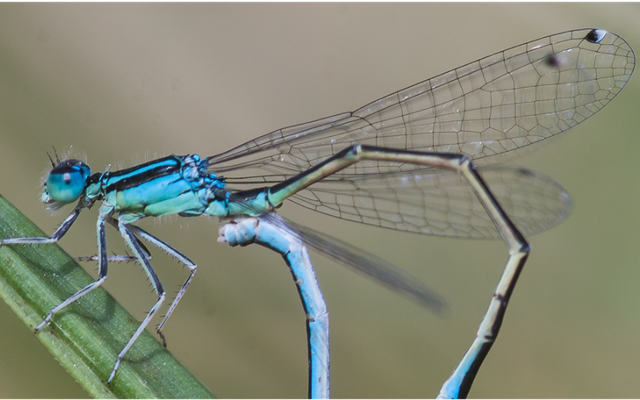
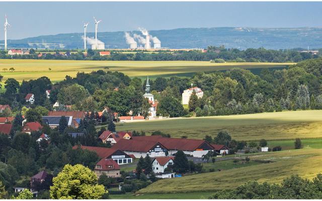
Agriculture plays a central role in the area of biodiversity, as around 50 percent of Germany's land is used for agriculture.
A reliable data basis for recording changes in land use, agricultural structure and biodiversity and for evaluating the effectiveness of agri-environmental policy support measures has been lacking until now. With the nationwide monitoring of biological diversity in agricultural landscapes (MonViA), the Thünen Institute is working together with the Julius Kühn Institute and the Federal Office for Agriculture and Food to close this gap. In a pilot phase, monitoring programs were developed to record changes in the agricultural landscape and the status of functional groups such as pollinators, beneficial organisms and soil organisms.
The Thünen Institute coordinates and promotes data exchange in nationwide biodiversity monitoring.
Use case content: Providing FAIR monitoring data and making it sustainably usable
The data collected and stored as part of the Biodiversity Monitoring Program for Agricultural Landscapes (MonViA) is to be made available for scientific re-use via a reference implementation in accordance with the FAIR principles at institutional level.
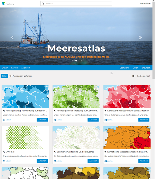
A central tool for this is the Thünen Atlas – an open, interactive geodata platform of the Thünen Institute. It makes this (and other) data from research and monitoring on topics such as land use, forests, oceans and biodiversity accessible. The atlas is, so to speak, the showcase and the technical infrastructure through which the MonViA data can be accessed.
- standardized (e.g. via OGC-compliant interfaces),
- visualized (in interactive maps),
- and can be further processed (e.g. in GIS, R, Python).
As part of the NFDI4Biodiversity use case project, the focus was not only on data mobilization from the monitoring programs but also on the reference implementation itself - in particular the further development of the API. This created the prerequisite for connecting the Thünen Atlas to the cloud-based data infrastructure Research Data Commons (RDC), which is being developed as part of NFDI4Biodiversity.
By linking to the RDC, the extensive monitoring data is also visible and reusable outside the Thünen Institute. The linking of own research data with the collected monitoring data creates a new, valuable data basis - especially for the investigation of relationships between agricultural use and biodiversity.
Gaining new insights here is crucial: further research is needed into how agricultural practices influence biodiversity and which measures can promote biodiversity. Intensively farmed areas with monocultures and pesticide use can destroy habitats and promote species loss, while sustainable approaches such as agroforestry systems or flower strips can maintain or even increase diversity. Such findings are crucial for strengthening the resilience of ecosystems to climate change, ensuring soil fertility and supporting natural processes such as pollination or pest regulation.
They can not only provide a scientific basis for a more environmentally friendly agricultural policy, but also offer farmers valuable impetus for sustainable practices. This ultimately benefits not only agriculture itself, but also society, which depends on stable ecosystems and healthy landscapes.
Results of the use case: Further development and use of the Thünen Atlas as a research data platform
The Thünen Atlas is based on the open source software GeoNode. With the support of the two NFDI consortia NFDI4Biodiversity and FAIRagro, the platform could be further developed and specifically adapted to the requirements of a research data infrastructure. The documentation of the interfaces is included in the Thünen Atlas developer documentation. The ongoing development of the Thünen Atlas is public and can be followed in the Thünen Atlas GitHub project.
The reference implementation of the Thünen Atlas also serves as a blueprint: it can be used in the FAIRagro partner consortium to facilitate data exchange and connection to the Research Data Commons (RDC), and is also available to project partners in NFDI4Biodiversity as an example of a FAIR-compliant geodata platform.
Subject-specific atlases can be created within the Thünen Atlas. These present data sets and interactive applications as curated collections:
Contact
Would you like to find out more about this use case? You can find contact persons here.
For questions about the Thünen Institute
Florian Hoedt (florian.hoedt@thuenen.de), Head of Research Data Management at the Center for Information Management of the Thünen Institute
For questions about the use case and NFDI4Biodiversity
Sarah Fischer (fischer.sarah@fbn-dummerstorf.de), Use Case Manager
Discover other Use Cases
What is the potential of NFDI4Biodiversity? This is illustrated by our use cases: real-life applications in which we develop solutions for better data management and provision.
Dragonfly Atlas
Around two million dragonfly data, which should also be available to research and nature conservation – this is what we are working on with the dragonflies of the GdO.
Land Use Monitor
Visualisable long-term data on land use can enrich biodiversity research enormously. Together with the IOER, we are integrating them into NFDI4Biodiversity.
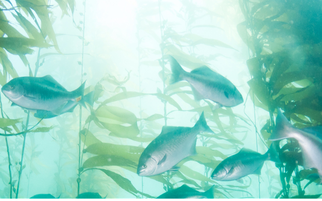
Fish Atlas
The GfI's fishologists collected more than 100,000 data sets on regional fish species. Together we are making them easier to find and thus more accessible.