"Eddi Erpel": A science comic explains how data becomes a map
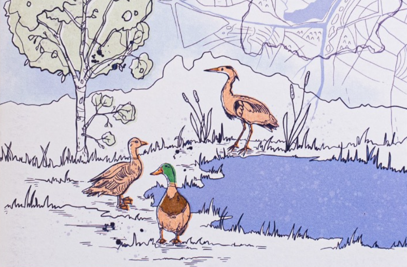
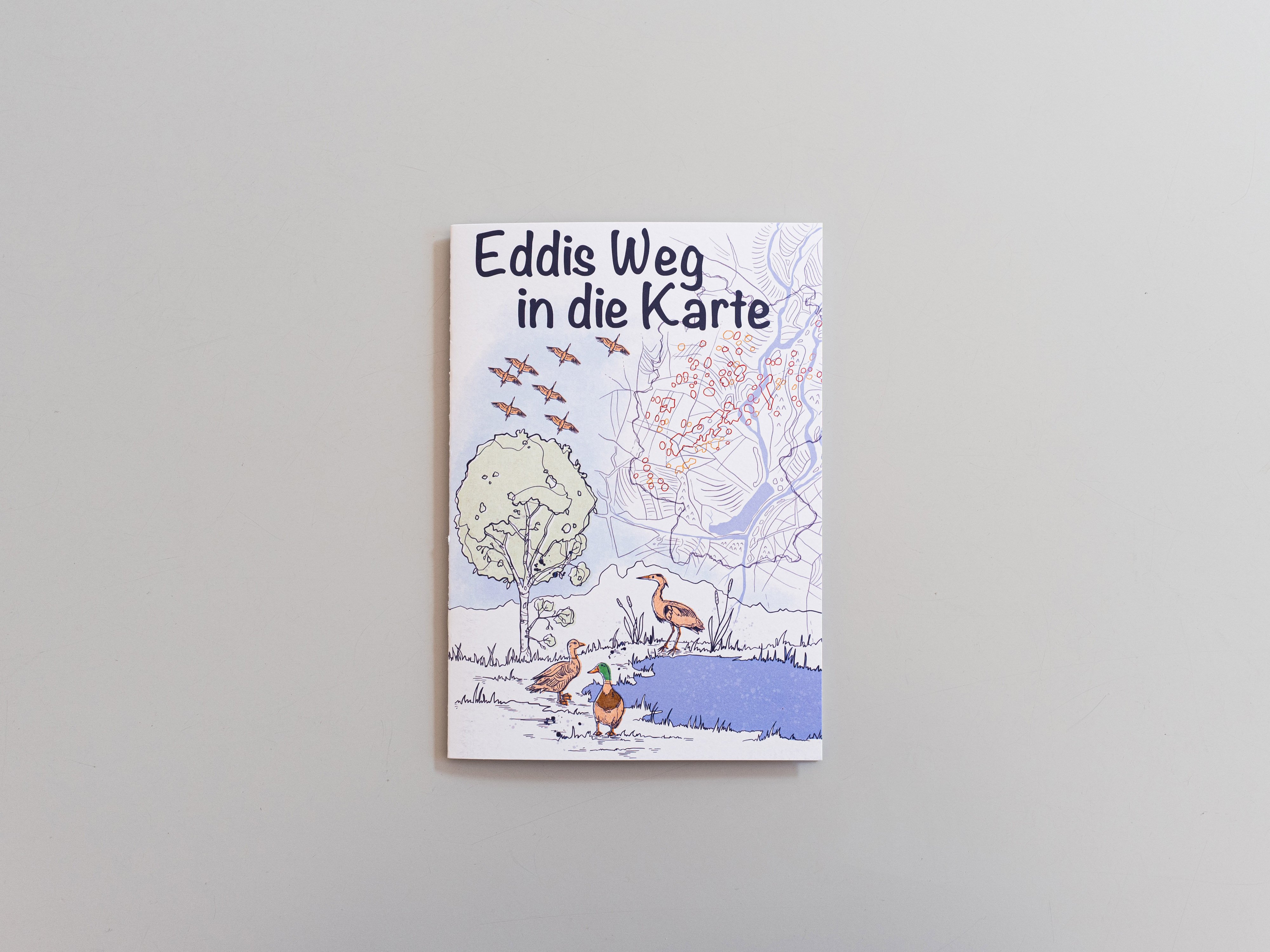
How is a map created from research data? This is explained in a scientific comic that resulted from the collaboration of two NFDI4Biodiversity project partners: the Leibniz Institute for Regional Geography (IfL) and the Dachverband Deutscher Avifaunisten (DDA).
Science comics are a special way of conveying knowledge that combines vivid images with easy-to-understand texts - and thus offers low-threshold access to research topics that often seem complex at first.
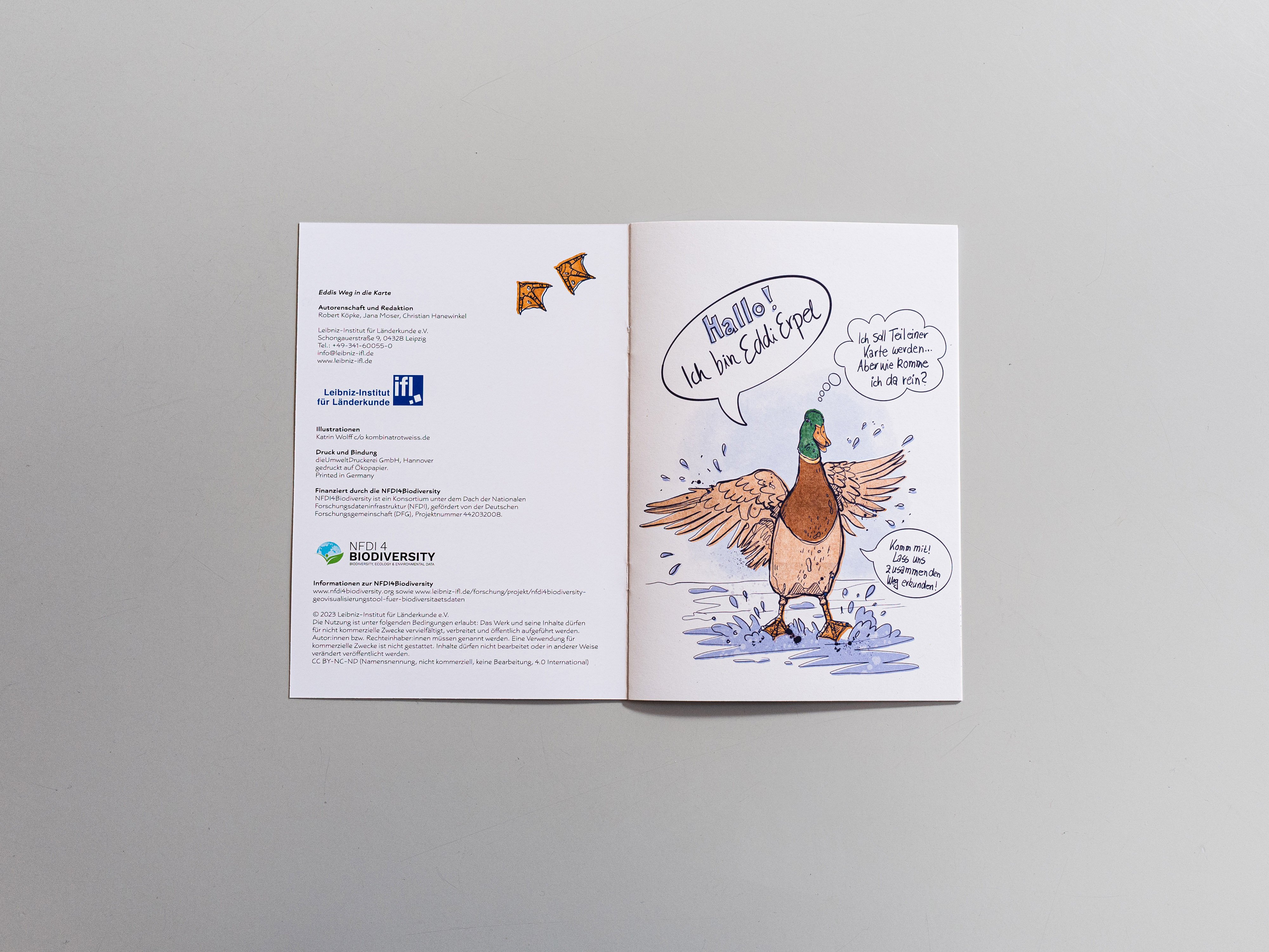
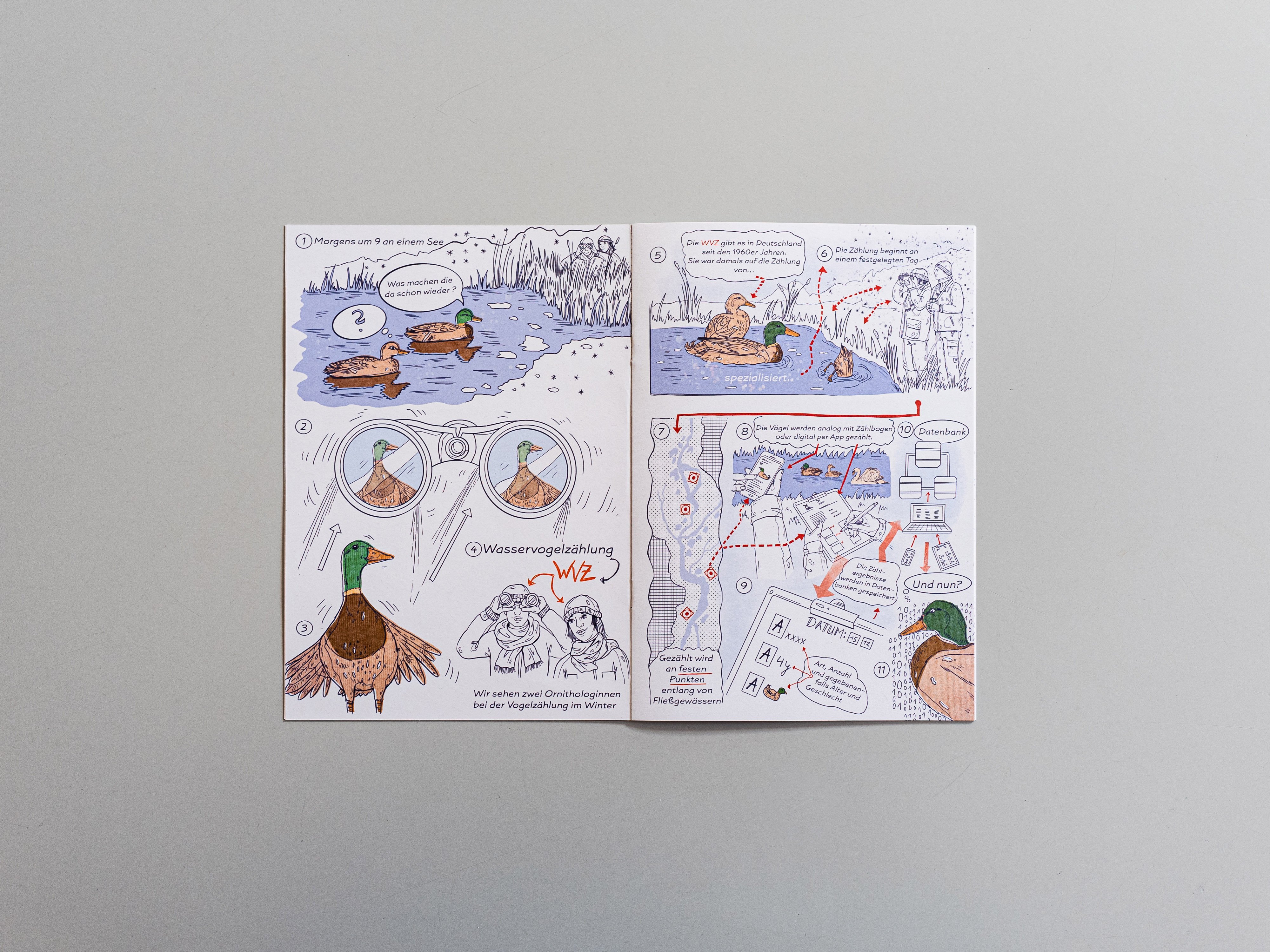
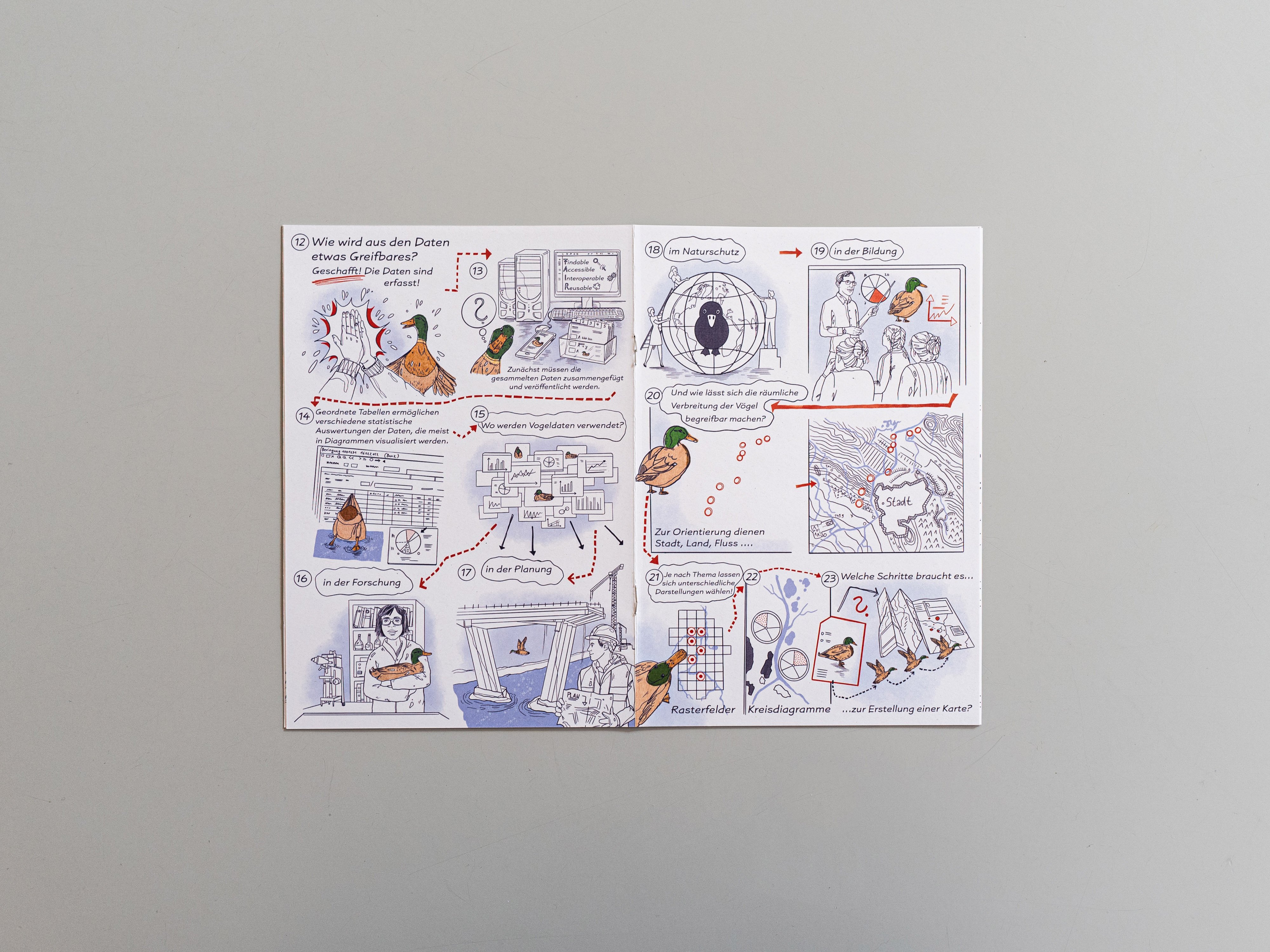
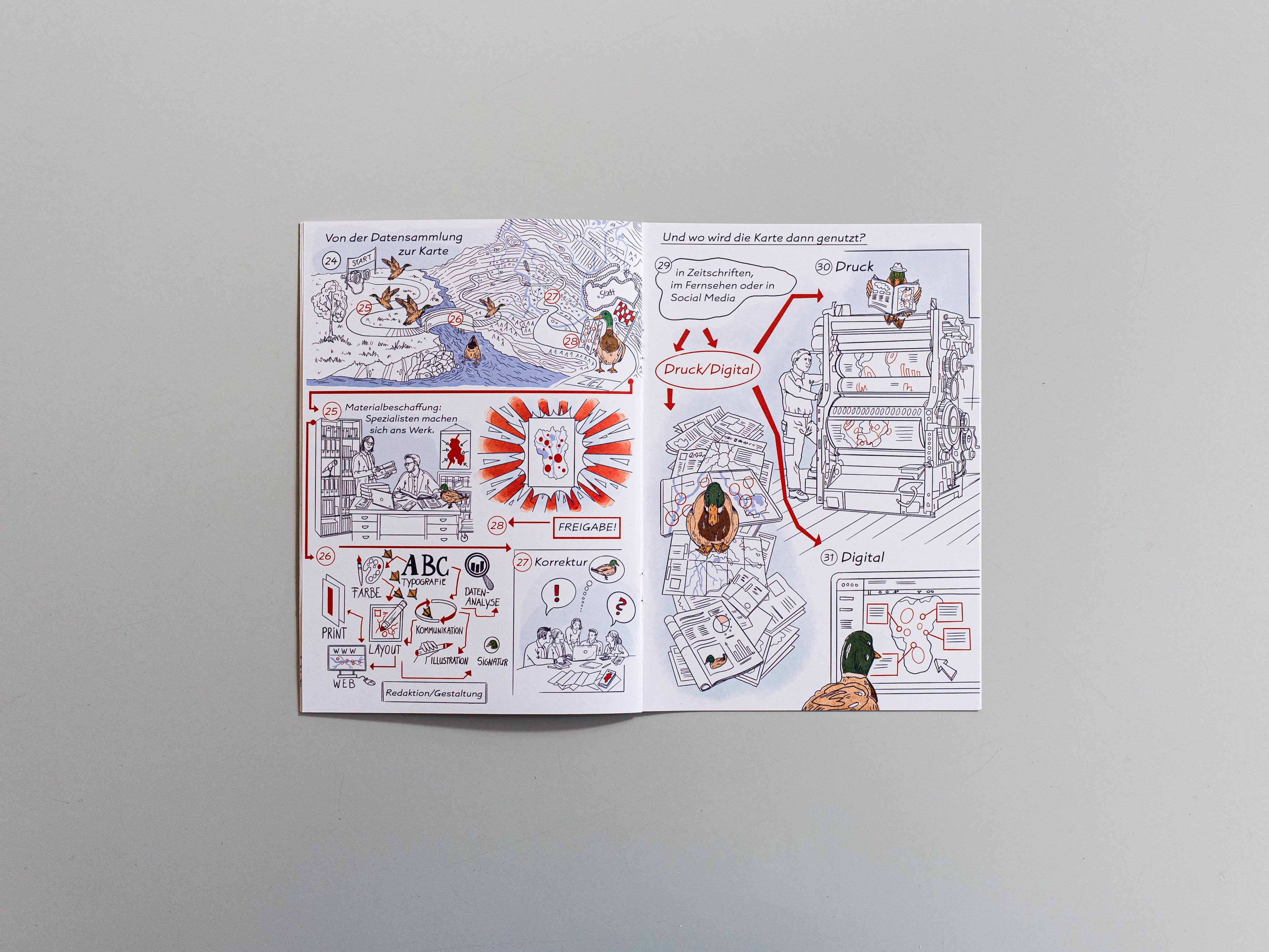
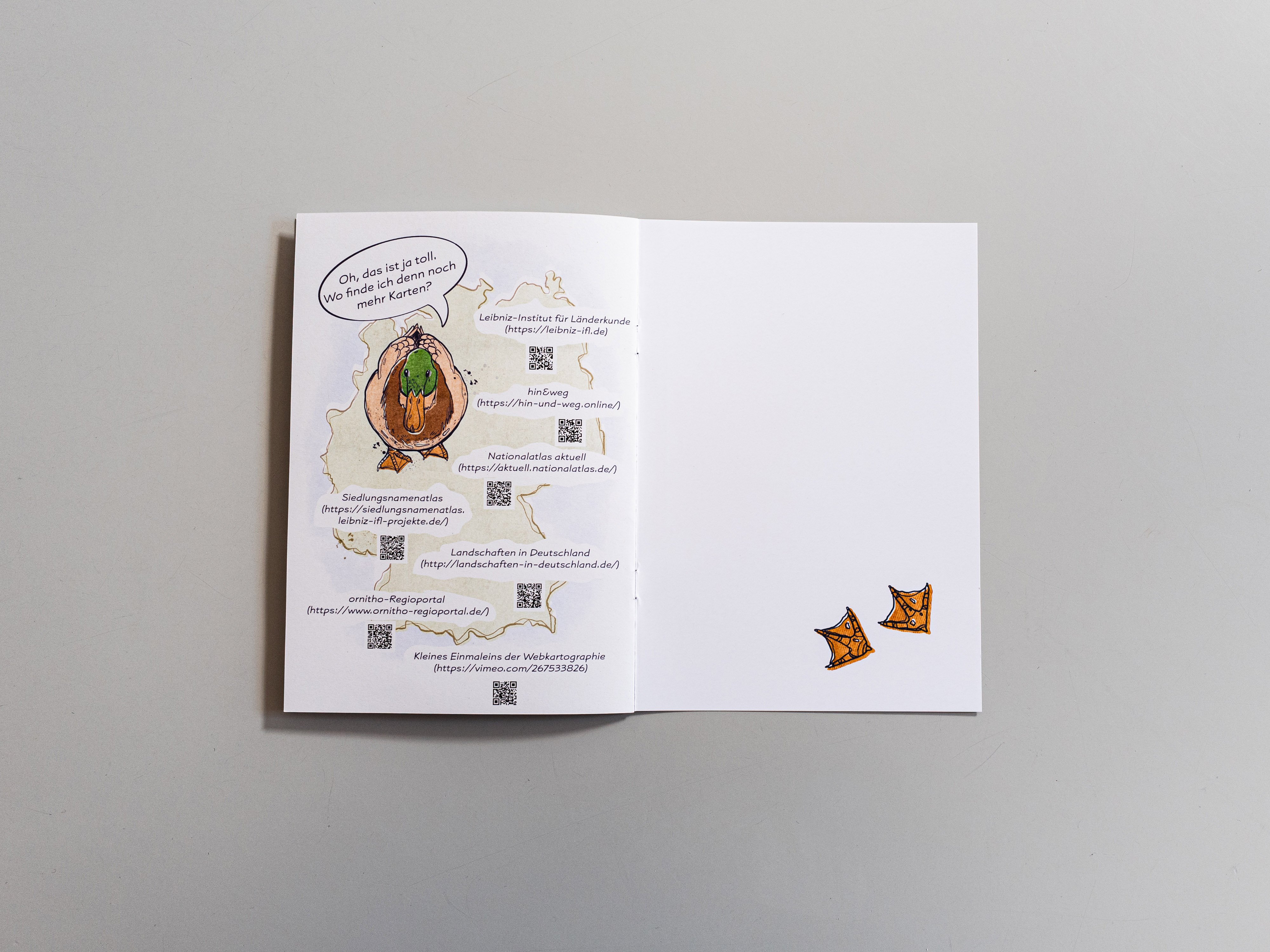
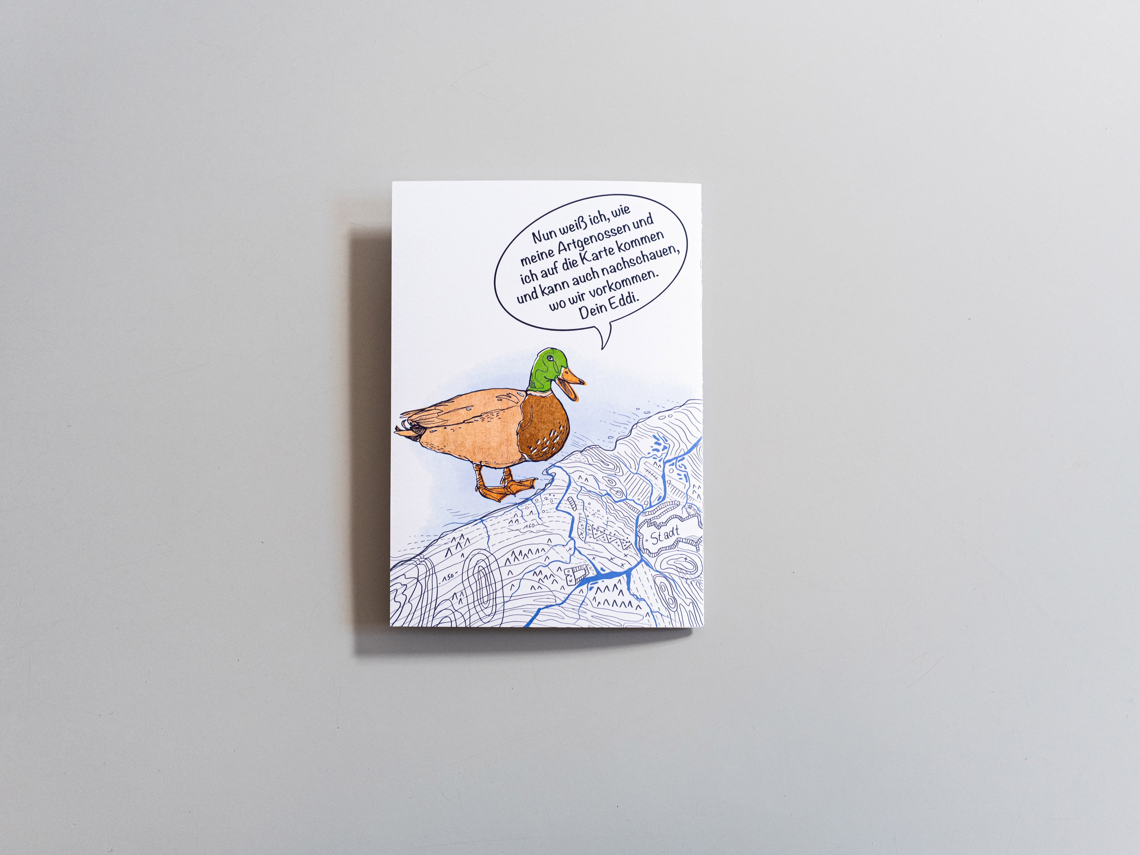
The comic strip "Eddi's Way into the Map" was developed by the authors Robert Köpke, Jana Moser and Christian Hanewinkel in close collaboration with the illustrator Katrin Wolff. It illustrates in an exciting way the importance and use of data in biodiversity research and conservation. The story focuses on the work of the Dachverband Deutscher Avifaunisten (DDA), the umbrella organization of German avifaunists, which systematically collects information on bird populations during the annual winter bird census. These valuable data are of great importance for nature conservation, as they document changes in bird populations and distribution areas over time.
The publication was supported by NFDI4Biodiversity, under which the collaboration of IfL and DDA was established.

Eddi, the drake, takes on the role of storyteller in the comic and guides readers through the world of data acquisition, processing and use with ease and a touch of humor. The aim was to present the topic of data, which is sometimes perceived as abstract, in an entertaining way. Readers are thus explained in a vivid way how to use occurrence data and what steps are required to display this data in a map.
The main goal of the publication format is to address a broad public and to convey scientific content in order to arouse interest in ornithology, cartography and research data. In addition, it aims to illustrate the tasks involved in working with data in maps.
"The comic Eddi's Way to the Map is a great example of how a science comic can be used to raise awareness of the importance of data in biodiversity and make the topic of data collection more accessible," NFDI4Biodiversity spokesperson Frank Oliver Glöckner says of the publication. "Through its intuitive illustration style and engaging story, the comic provides an exciting opportunity to engage with bird science, mapping, and research data."
The comic has already proven its worth at several information islands and stands with which NFDI4Biodiversity has been a guest at conferences and other events. Amidst classic information material such as flyers and brochures, the comic attracted a lot of attention and was a great opportunity to get into conversation with visitors. Proof of its popularity: In terms of the most sought-after information stand items, it even tops our beloved chocolate bars
Anyone interested in the comic in-length, can find it here as a free download (PDF). If you would like to request a printed version, please send us a message via our contact form.
Eddis Weg in die Karte. Mit Illustrationen von Katrin Wolff (Köpke, Robert; Moser, Jana; Hanewinkel, Christian), 2023. Leibniz-Institut für Länderkunde. Finanziert durch NFDI4Biodiversity, PDF-Download (7,6 MB)
Please enter your Mastodon instance
